
All stories
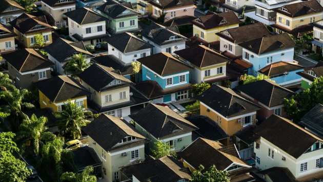
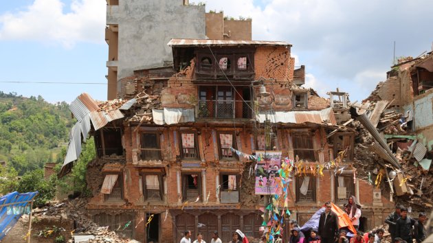
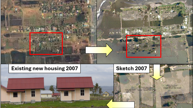
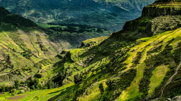
Rebuilding After an Earthquake in Nepal
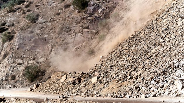
Why were there differences in the safety standards of houses rebuilt after the April 2015 earthquake?
 Hillas, B. M.
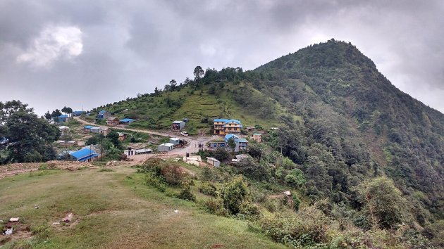


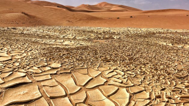
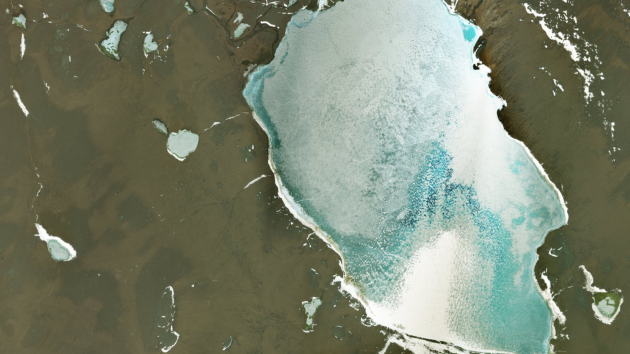
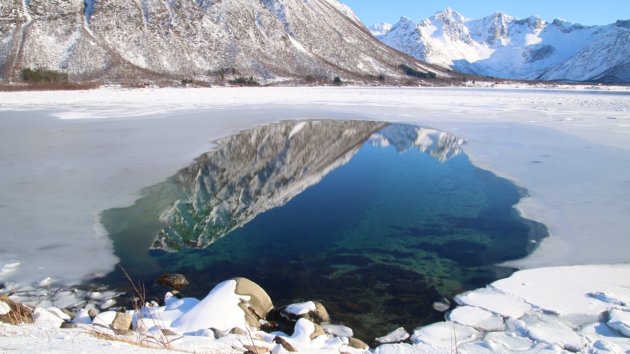
The Social Impact of Climate Overshoot
We're on course to exceed the Paris Agreement's target of 1.5 °C global mean temperature rise. So what happens next?
Hillas, B. M. 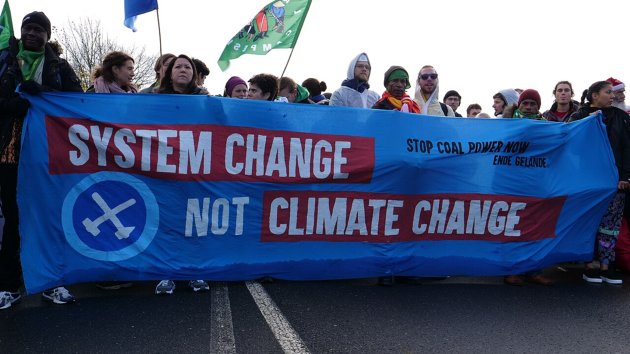
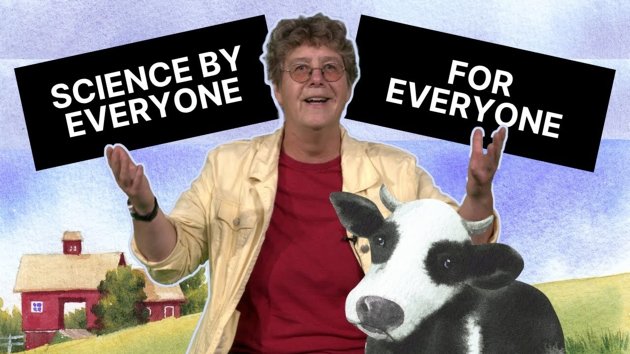
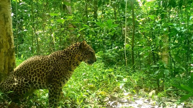
They Have to Pick the “Most Successful” Species… It Gets Messy || ES.1 - Dr. Geo
In the first episode of a new series, four contestants must each pick what they think is the most successful species and get creative …
 Groen, T.A.
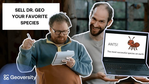
Climate Risk in a World of Conflict
Professor Maarten van Aalst discusses how geopolitical conflicts impact our fight against climate change.
 Kwakman, R.
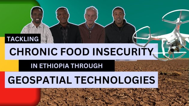
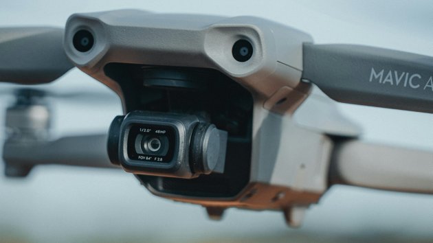
UAVs for Rubber Plantation Monitoring in India: A Tailored Training at ITC
Learn how ITC instructors taught a remote sensing scientist to use UAVs to monitor the health of rubber plantation crops in India.
Hillas, B. M. 
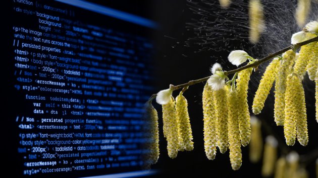
Six Benefits of Open Source Software
Explore the philosophy behind Open-source Software and how it can benefit companies and institutions. We'll also share details about a…
Hillas, B. M. 
Building Your Own Farm-Tech? Start Here
Florian Ellsäßer answers your online questions. He explains how to design technology that can address problems on the farm - that farm…
 Ellsäßer, F.J.
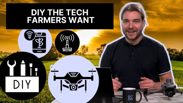

What is Critical Remote Sensing and why do we need it?
Remote sensing is essential to Earth Observation, but it also has social and political implications. Critical Remote Sensing is a new …
Hillas, B. M. 


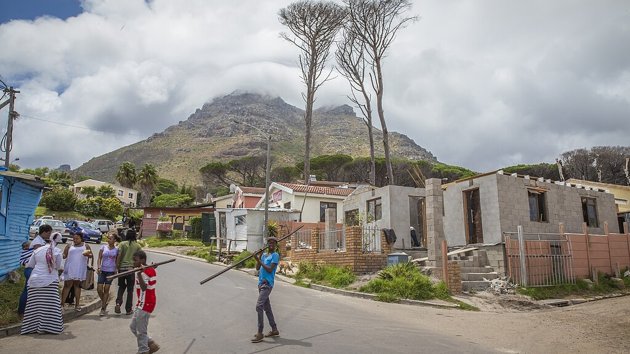
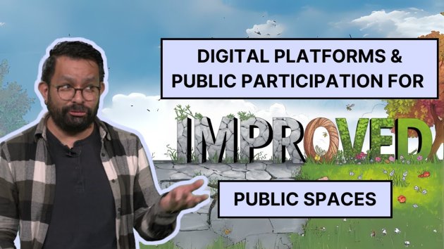
How Do We Design Cities That Protect Us?
In this story, design expert Thomas van Rompay explains the challenges of designing cities that are climate-adaptive and promote well-…
Kwakman, R. 
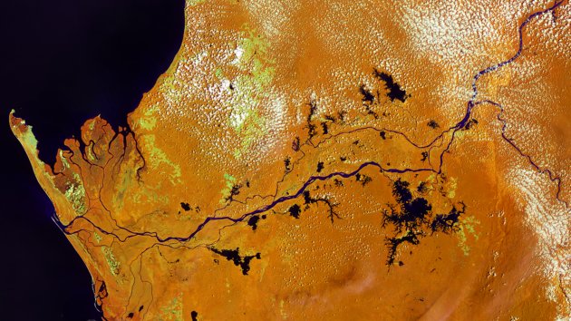
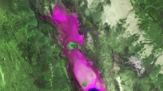
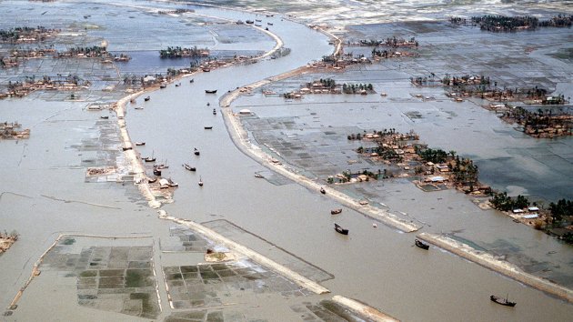
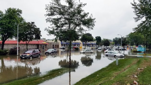
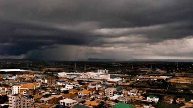
Deep Learning with Real-time Flood Inundation Maps
In the Mekong River Basin - particularly Cambodia - there is a need for near-real-time flood inundation maps. Tools like the Hydrologic Remote Sensing Analysis for Floods (or HYDRAFloods) facilitate disaster preparedness and timely flood evacuations when they are accessible to governments and individuals.
Flood inundation data is limited in the Me… Mayer, T.J.

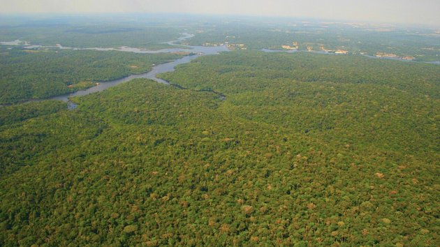
Can Artificial Intelligence Save the Amazon Rainforest?
AI and satellites can help us to monitor deforestation. Check out our new video with Assistant Professor Raian Vargas Maretto to learn…
 Vargas Maretto, R.
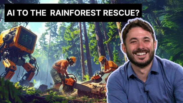
Neural Networks: The Foundation of Every Modern AI Breakthrough
In this video, we'll dive into the workings of a neural network and how they power the AI we know today.
Vargas Maretto, R. 
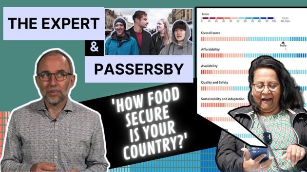
Is It Even Possible to Protect Your Data Anymore? Here’s What Works Personally and Professionally
In the latest instalment of our ''Expert and Passersby" series, a data ethics expert reacts to people's opinions on data privacy and h…
 Meissner, F.V.M.
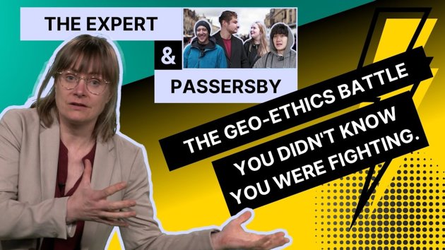
What Satellites REALLY Know About Your Backyard
Urban data researcher Fran Meissner tells us how everyday technologies are transforming the way we build cities, and discusses the eth…
Meissner, F.V.M. 


Your Location Data Privacy is a Problem for Society
We often think about data privacy as a personal issue. Will someone hack my phone? Will I get creepy ads? Who's watching me?
But social scientist Fran Meissner challenges this idea and flips it on its head. In this video, she explains why data isn’t just about you as an individual. The deeper danger lies in what happens when data is used to profil… Meissner, F.V.M. 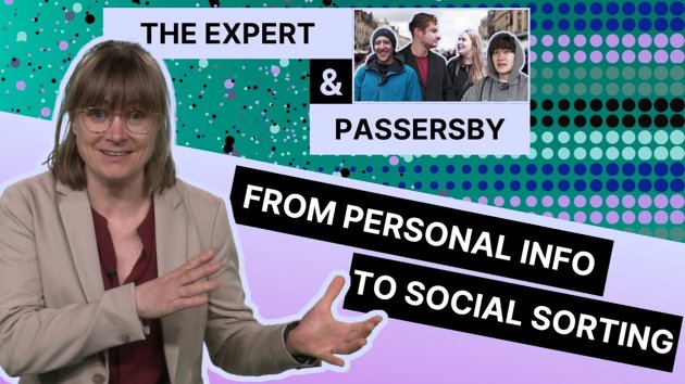
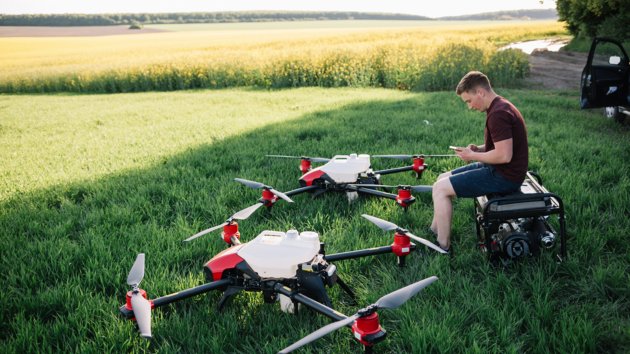
Drones in Air Quality Mapping: Unlocking New Horizons
A new study examined the role of drones in monitoring air quality. In this story, we'll explain how they work and some of their advant…
 Dadrass Javan, F.
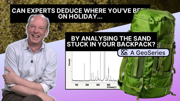
Can an expert geologist deduce where the white sand in Sophie's bag came from? (EP. 4)
New episode! In this series, Assistant Professor Arjan Dijkstra tries to guess where sand samples came from just by looking at a graph…
 Dijkstra, A.H.
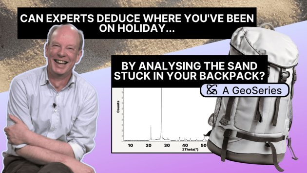

Drones, the Perfect Survival Ally. Ep.4: Signalling for Help
In this episode of our Drones for Survival series, you'll learn about different techniques for topographic mapping and how they can he…
 Nyktas, P.
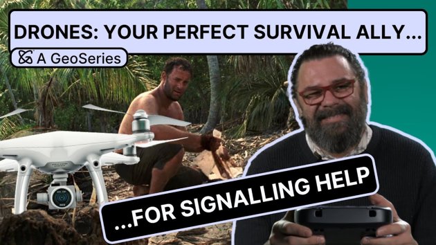
Enhancing Forest Management and Economic Assessment with Remote Sensing
In this article, you'll learn about recent developments in active remote sensing and how it can help us assess the different functions…
 Schlund, M.
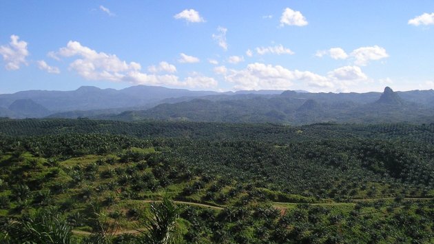
Can an expert geologist deduce where the black sand in Liam's backpack came from? (EP. 3)
New episode! In this series, Assistant Professor Arjan Dijkstra tries to guess where sand samples came from just by looking at a graph…
Dijkstra, A.H. 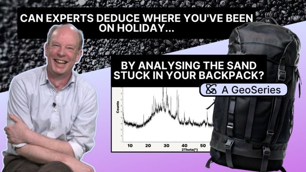
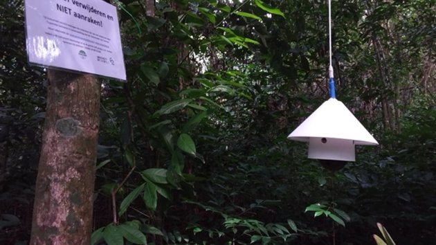
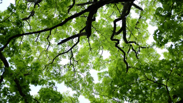
Citizen Science in the Treetops
In a tropical forest, scientists use cameras to track patterns in the canopy. Drawing on citizen scientists to process the data, they …
 Wesselink - Schram, K.W.
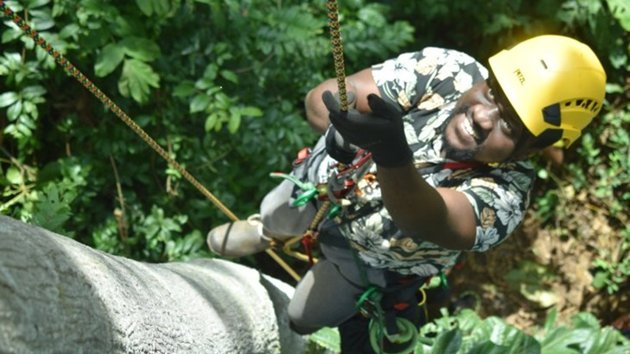
Can an expert geologist deduce where the red sand in Tom's backpack came from? (EP. 2)
New episode! In this series, Assistant Professor Arjan Dijkstra tries to guess where sand samples came from just by looking at a graph…
Dijkstra, A.H. 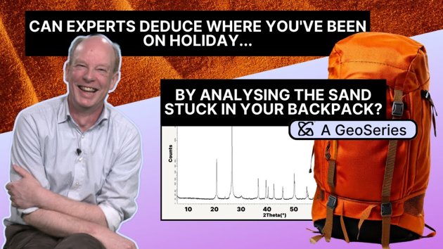

Drones, the Perfect Survival Ally. Ep.3: Sourcing Different Types of Wood
In this episode of our drones series, we focus on how drones can help you source different types of wood - an essential resource on a …
Nyktas, P. 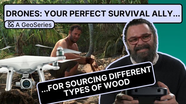
5 Considerations for eDNA in Spatial Ecology
Environmental DNA (eDNA) is a useful technique in spatial ecology. In this article, we'll explore five considerations researchers shou…
 Siegenthaler, A.
Drones, the Perfect Survival Ally. Ep.2: Building a Shelter
Stranded on a desert island? You've got a lot to handle: finding food, sourcing fresh water, making a shelter, building a fire and signalling for help.
Doesn't sound like a one-person job, does it? You'd be better off with a friend - one that's actively helping.
In this video series, we'll show you how a drone is the ideal survival ally for these … Neinavaz, E.
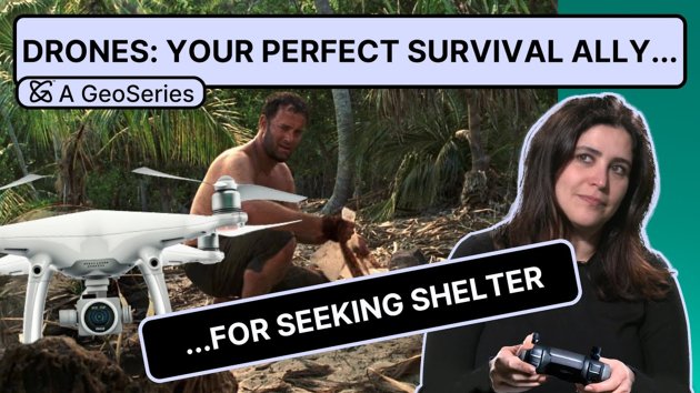
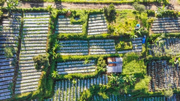
Is this the farm of tomorrow?
At Citizen Farm Herenboeren Usseler Es, farmers are exploring how data can help them adapt to climate change challenges, such as unpredictable weather and longer growing seasons. Researchers from the University of Twente are helping by providing them with more precise data for better-informed farming decisions.
The goal is to enhance local food pr… UT Stories Editorial Team
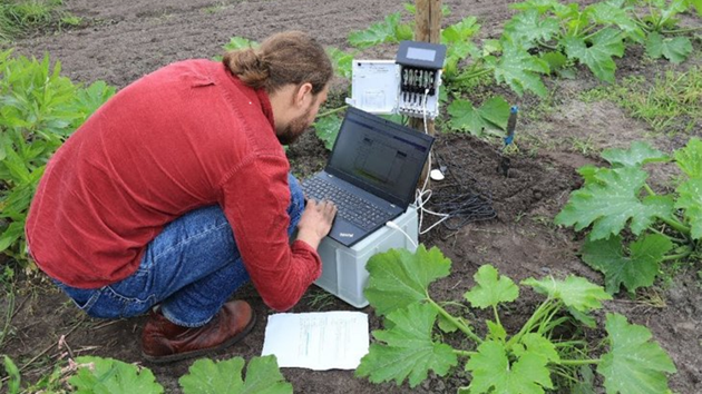
Can geologists guess where you've been on holiday from the sand in your backpack? (Ep.1)
In this series, we challenge an expert geologist to look at sand samples and guess where in the world they came from!
Dijkstra, A.H. 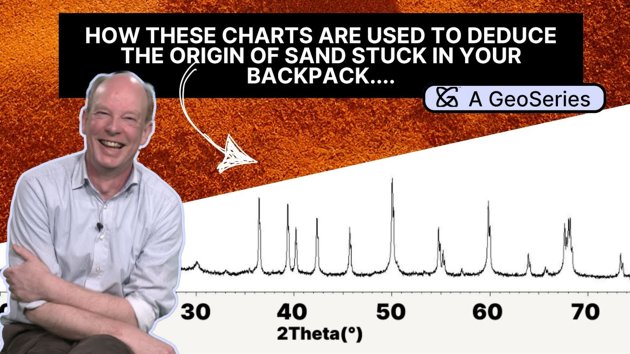
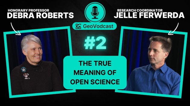
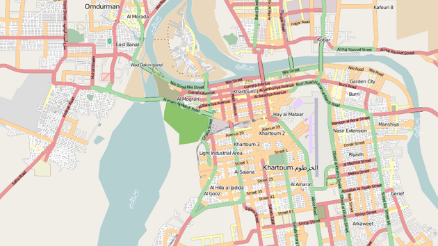
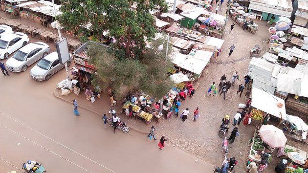
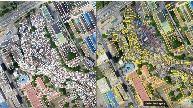
GeoVodcast #1: Spatial Inequalities in Deprived Urban Areas
Welcome to the first episode of the Geoversity Video Podcast! In this episode, host Brad Hillas speaks with Professor Monika Kuffer from the Faculty of Geoinformation Science and Earth Observation at the University of Twente about her work in urban planning, geospatial data, and its connection to the Sustainable Development Goals (SDGs).
Professor… Kuffer, M.
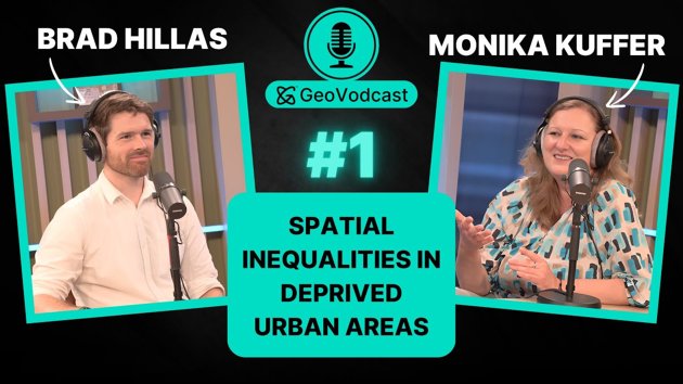
Podcast: Spatial Inequalites in Deprived Urban Areas
In this episode, we speak to Monika Kuffer about her work in urban planning and its connection to the Sustainable Development Goals.
Kuffer, M. 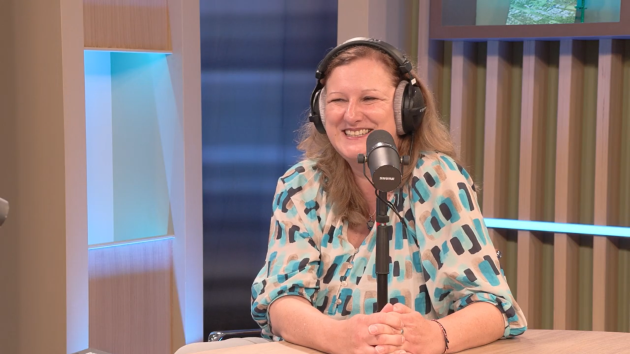
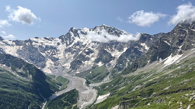
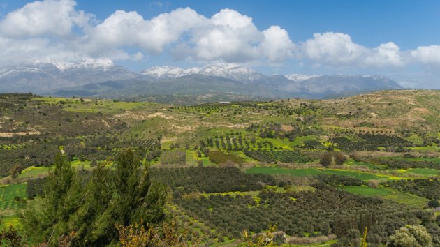
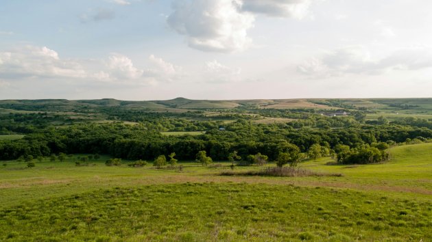
Climate Change: The uphill battle for species conservation
Join Panagiotis Nyktas, a passionate landscape ecologist, as he discusses the impact of climate change on fragile ecosystems.
Learn about the challenges faced by endemic species in Crete’s mountainous regions that represent larger global trends and the urgent need for holistic models to better understand and predict ecosystem dynamics.
Panagiotis … Nyktas, P. 

Urban AI and Ways of Knowing
AI is the talk of the hour. With systems like ChatGPT and Midjourney becoming more popular and seemingly sophisticated, we are also increasingly confronted with many ethical questions that those technologies engender.
In May 2024, OpenAI's "Sky" chatbot made headlines for sounding similar to actor Scarlett Johansson’s voice. Sky was taken offline … Boro, U.
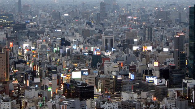


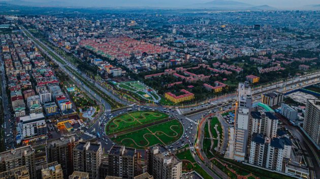
Cities are Cloned in the Virtual World to Transform Urban Planning
Digital twin cities paving the way for urban decisions with a lasting impact
There is a way to test and analyse different scenarios before breaking ground. This is possible thanks to digital twins. A digital twin city is a replica of its physical counterpart. Updated from real-time data and using simulation, AI, and pattern recognition, the digita… UT Stories Editorial Team 
Drones, the Perfect Survival Ally. Ep.1: Sourcing Food
Stranded on a desert island? You've got a lot to handle: finding food, sourcing fresh water, making a shelter, building a fire and signalling for help.
Doesn't sound like a one-person job, does it? You'd be better off with a friend - one that's actively helping.
In this video series, we'll show you how a drone is the ideal survival ally for these … Ellsäßer, F.J. 
Travelling back in time to understand the present and predict the future of our forests using remote sensing
Forests play a vital role in mitigating global warming and preventing biodiversity loss. They cover a third of the Earth, and about 45% are in the tropical zone. Most of our forests are natural, while only a small proportion of forests come from plantations.
Although the rate of deforestation has decreased in the last decade, the percentage of pla… Huesca Martinez, M.
Where Dinosaurs lived: how geolocation supports palaeontological research
Dinosaurs are undoubtedly the most famous of all extinct creatures that have lived on our planet – a fame only matched by their popularity.
However, identifying these iconic animals and reconstructing their environment is an intricate puzzle.
First, we do not know how many pieces the fossil set is made of, and second, the pieces are scattered thro… Da Silva Mano, A.
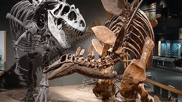
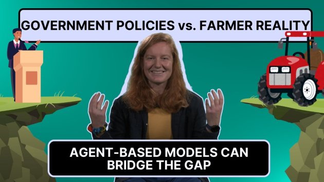
What are agent-based models?
Researchers seeking better solutions to the world’s problems need to test their ideas. Any given policy may have unintended consequece…
 Schwarz, N.
Four popular sources of labelled data for machine learning
In remote sensing, machine learning models are powerful instruments for classifying land cover and land use, identifying vegetation cover, determining soil types, detecting changes in the landscape, and more.
However, these models need to be fed labelled data as training material for optimum performance. This data type allows machine learning mode… Paris, C.
Enhancing Agricultural Monitoring with AI and satellite data: A Collaborative Training on Crop Type Mapping
I had the pleasure of being invited to the Geo-Informatics and Space Technology Development Agency (GISTDA) in Bangkok to deliver a Tailor-Made Training (TMT) program: a truly rewarding and enriching training experience.
This training focused on the application of Artificial Intelligence (AI) techniques for crop type mapping, leveraging the rich t… Paris, C. 
Digital twins can make mapping easier and more accurate
A digital twin is a digital replica of a particular physical object, environment and/or event. In the field of geoinformation, the con…
 Oude Elberink, S.J.
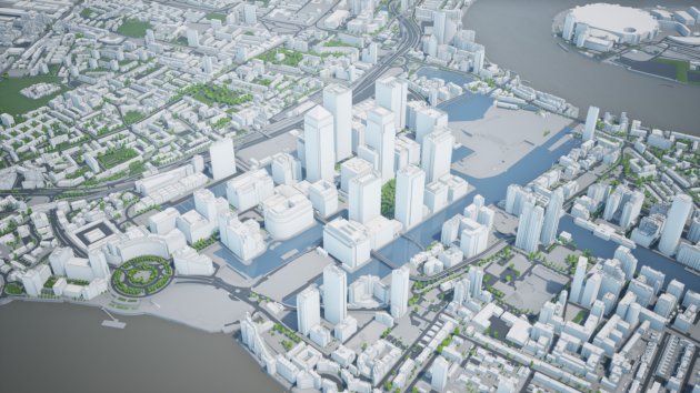
UAVs for Geophysical Survey
The growing popularity of UAVs and ongoing advancements in UAV-compatible technologies have greatly influenced geophysics. This articl…
Dadrass Javan, F. 
The role of water- and health-related local community knowledge and perceptions in decision-making
The role of water- and health-related local community knowledge and perceptions in decision-making
Health-related knowledge and perceptions are important determinants of health behaviours and behaviour change. What someone knows, thinks or feels will motivate or hinder their intention or hesitancy to implement a certain behaviour, i.e. the applica… Anthonj, C.
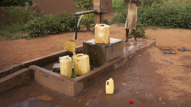
Keeping things cool with digital twins
Digital twin (DT) technlogy has proven to be powerful in addressing the Urban Heat Island effect and promoting climate-resilient citie…
 Koeva, M.N.
Why schools should have WASH – and teach it too
The COVID-19 pandemic confirmed how crucial access to adequate water, sanitation, and hygiene (WASH) services is for controlling infec…
Anthonj, C. 
Using UAV Technology to Fight Palm Tree Pests and Diseases
Farming date palm trees is of utmost importance in many arid countries and covers more than 1 million hectares globally, producing 9.5 million metric tons of dates annually.
The Red Palm Weevil (RPW) and Bayoud diseases, along with other pests and pathogens, pose serious threats to the palm tree population, with significant economic impacts and lo… Alsadik, B.
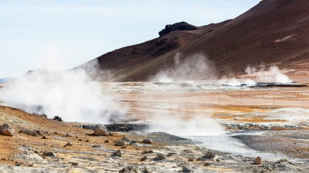
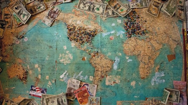
Are we running out of raw materials for the energy transition?
Europe faces various choices and challenges in terms of mining and the availability of raw materials. The 2023 European Critical Raw M…
Dijkstra, A.H. 
What is the Wet-Bulb Globe Temperature?
As global temperatures continue to rise, extreme heat is becoming increasingly common around the world, posing significant risks to pu…
 Pereira Marghidan, C.
What is magic of institutionalising planning support systems?
We don't understand why a particular Planning Support System (PSS) is seemingly successful.
We don't understand because the literature shows that many, if not most, do not institutionalise. Even though many of them are powerful instruments to help people prepare development scenarios, participate in planning processes, or evaluate and account for … Boerboom, L.G.J.
Colour composites unraveled
The article "Why do you not see what I see?" raised eyebrows and triggered some discussion. It is, therefore, time for a follow-up and…
 Bakx, J.P.G.
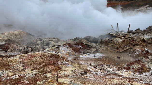
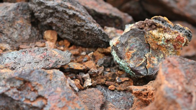
Searching for Rare Earth Elements from space and how minerals made in the lab play a key role
If you are looking for a powerful magnet, you probably leave the hardware store with something called a neodymium magnet.
Neodymium is a chemical element with exceptional magnetic properties. It belongs to a group of elements collectively known as the rare earth elements, so your magnet may also be called a rare earth magnet.
If you are a manufact… Dijkstra, A.H. 
What is the social and mental health impact of flooding on older adults?
What is the social and mental health impact of flooding on older adults?
Humans are living longer and longer. In 2020, the number of people aged 60 and above exceeded the number of children under five. The large number of older adults will bring new challenges to the health system.
Our climate is changing, making the frequency and intensity of ext… Song, C.
Mapping Rainforest Water Use: A UAV-Based Approach to Evapotranspiration
Tropical rainforests play a key role in regulating the Earth's climate, and a big part of this is through evapotranspiration (ET), which is how water moves from the ground through plants and back into the air.
Measuring ET can be challenging because most methods - such as eddy covariance or sap flux - are expensive or require a lot of work. These … García, H.
What green do you need? How residents of less well-off urban areas see their environment
Urban green can improve the quality of life of people living in cities, particularly those in less affluent neighbourhoods. To better …
Schwarz, N. 
Misled by maps: How data visualisation shapes our stories
Do you think visuals don't lie? Think again! In today's visually driven world, maps, charts, and graphs dictate how we interpret stories—often without us realizing it.
Data visualization expert Barend Köbben is here to break it all down. We hit the streets to see how people interpret visuals, and Barend explains why you might be getting tricked by… Köbben, B.J.
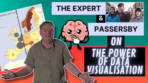

Water and health insecurity among urban homeless communities
We often associate unsafe access to water, sanitation and hygiene (WASH) with the Global South. However, in the Global North there are…
Anthonj, C. 

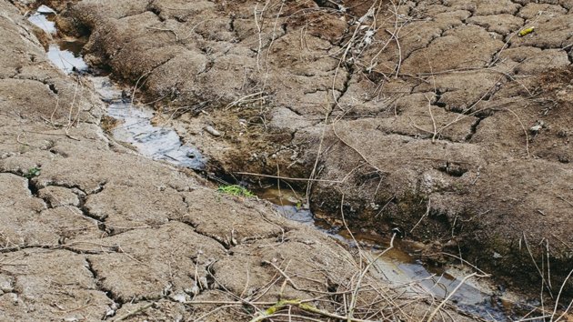
Water, health and decisions: the impact of extreme weather
The United Nations Sustainable Development Goal (SDG) number 6 states that every person on earth should have access to water and sanitation, whereas SDG #3 stipulates good health and well-being for all at all ages. Both goals are clearly interrelated, as positive WASH (water, sanitation and hygiene) conditions can promote human health.
However, di… Anthonj, C. 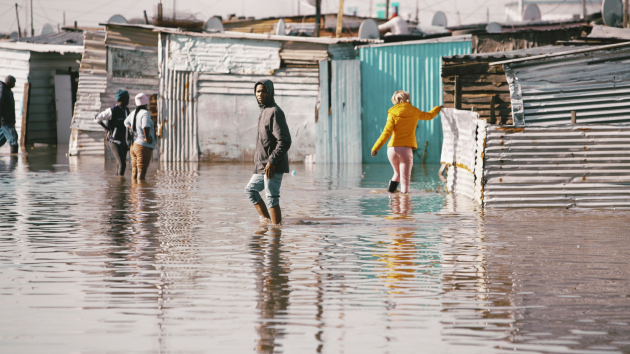
The Remote Sensing Data Labelling Challenge
Remote sensing involves analysing vast amounts of Earth Observation (EO) data, typically acquired from satellite data, aircraft or Unmanned aerial vehicles (UAVs). Machine learning models can be trained to assist here, by automatically classifying land use and land cover, identifying vegetation cover, determining soil types, detecting changes in t…
Paris, C. 


Five benefits of mangrove forests
Asia, Africa, the Americas - the mangrove species can be found in tropical and sub-tropical areas worldwide. These trees, with their characteristic visible roots and low branches, are protected with pride by those who live around them. But what makes mangroves so special? In this article we are going to describe five main benefits of mangrove fore…
García, H. 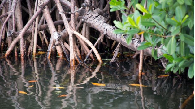


How water pollution affects shrimp farms
The Mekong Delta in Vietnam is one of the most biodiverse ecosystems in the world. It is home to mangrove trees, which absorb more CO2 than any other ecosystem. Mangroves are home to other species, such as fish, insects and shrimps.
The abundance of shrimp makes the Mekong Delta a key region for shrimp farming. This is one of Vietnam’s biggest in… García, H. 


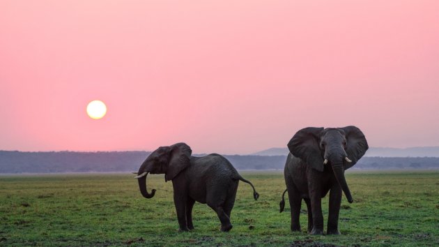
How many elephants? Ask a satellite
The number of African elephants has reduced dramatically over the last century. Today they remain under threat from poaching, changes …
Hillas, B. M.