 Hillas, B. M.


Remote Sensing
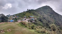
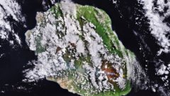
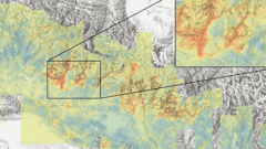
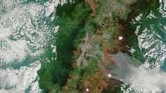
Earth from Space: Quito’s volcanic landscape
4 min
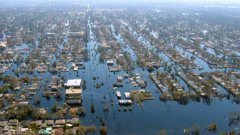
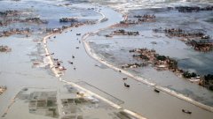
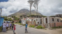
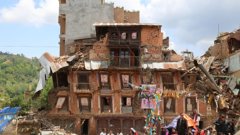
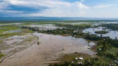
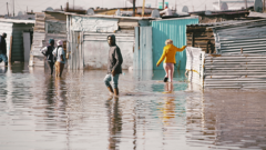
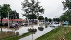
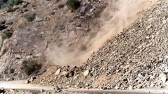
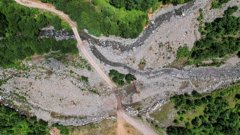
Disaster risk refers to the potential adverse impacts of natural or human-induced hazards. It encompasses vulnerabilities and the likelihood of disasters occurring, highlighting the need for resilience strategies to reduce the impact of such events.
Login and start learning!