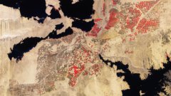
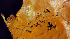
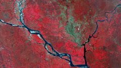
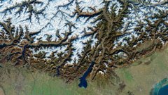
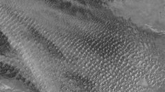
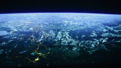
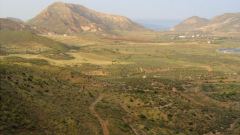
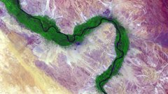
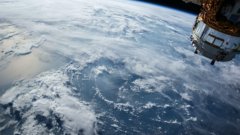
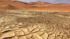
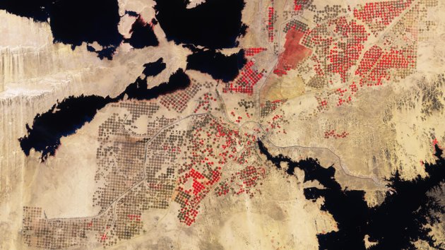
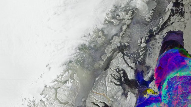
1. Home
  2. Topics
  3. Remote Sensing

Remote Sensing

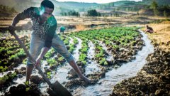
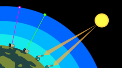
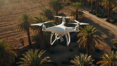
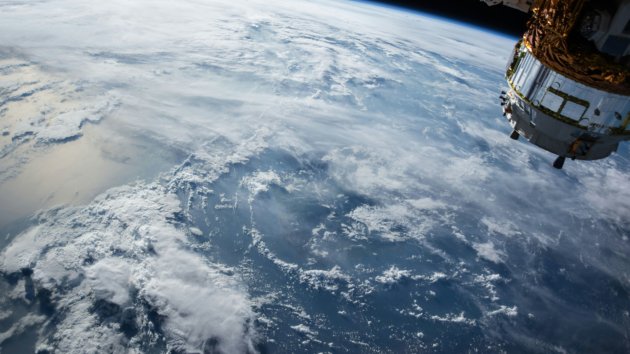
Remote sensing is the process of acquiring information about the Earth's surface or other objects from a distance, often using satellites or aircraft. Data is collected through sensors for analysis and monitoring without direct physical contact.

Recent stories

Start learning for free!

  • Be the first to enrol in our courses
  • Receive personalized updates related to your field
  • Save courses and content to enjoy later
  • Join a geospatial community of learners
Join Geoversity

Cookies

We use cookies and similar technologies to process your personal data (e.g. IP address) for personalised content, ads and third-party media integrations. Functional and strictly analytical cookies are always set. Non-essential and non-analytical cookies require your permission. For more details, see our privacy statement or cookie policy.