


June: NV5 Month

Free Webinar: Introduction to Spectral Remote Sensing
This course provides a foundational understanding of spectral analysis, covering electromagnetic spectrum principles, sensor types, and data processing techniques using ENVI software.
Sign up for free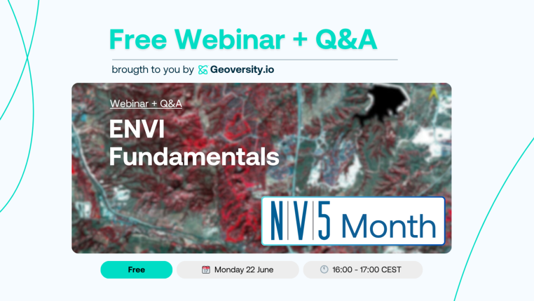
Free Webinar: ENVI Fundamentals
The ENVI Fundamentals will equip you with the basics of ENVI remote sensing software for processing and analyzing geospatial imagery. You will learn the skills to use ENVI's suite of tools for scientific, evidence-based imagery analysis.
Sign up for free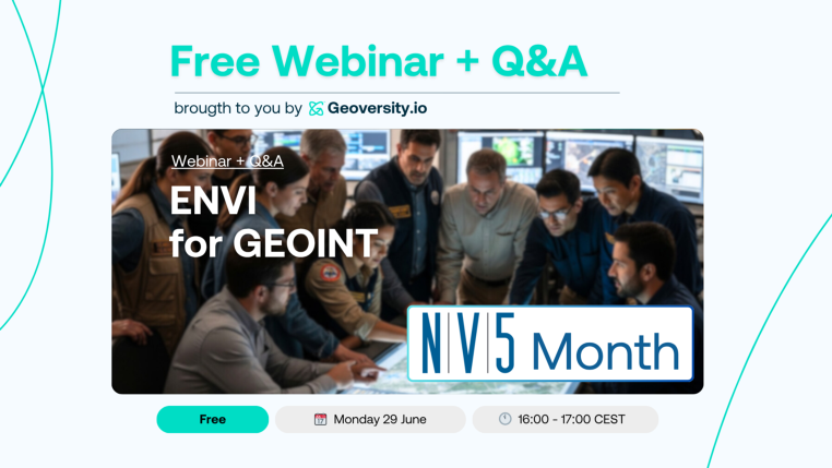
Free Webinar: ENVI for GEOINT
A learning path for remote sensing specialists, geospatial engineers, or risk managers to quickly master the fundamentals of processing, analyzing, and extracting information from imagery.
Sign up for freeAugust
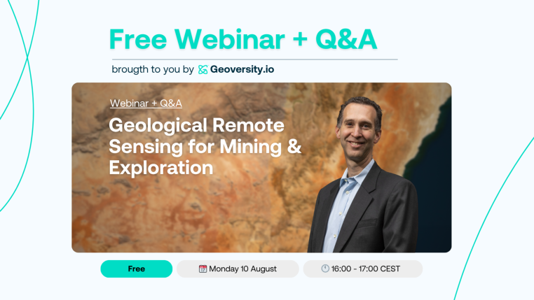
Free Webinar: Geological Remote Sensing for Mining & Exploration
Join this webinar to learn how to develop practical skills in identifying hydrothermal alterations and mineral deposits using multi- and hyperspectral remote sensing.
Sign up for free