




Remote Sensing
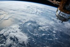
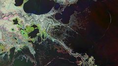
Earth from Space: New Orleans and the mighty Mississippi
5 min
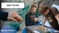
This week our contestants do their best to guess the spots in Paramaribo that provide vital ecosystem services!
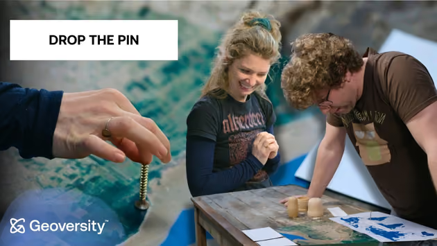
How can satellite data help make cities cooler, safer, and healthier?
In this episode, Professor Wieteke Willemen is our Dr Geo.
She challenges our contestants to think like environmental scientists as they explore real research from Paramaribo, the capital of Suriname.
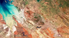
Using only satellite imagery and a series of increasingly tricky map-based challenges, the contestants must identify locations that provide vital ecosystem services — from cooling urban heat and reducing storm impacts to creating better places for sport and managing rainwater.
After each challenge, Dr Geo explains the science behind the correct answer, revealing how remote sensing, field measurements, and ecological research can help cities adapt to climate change while improving quality of life.
In this episode:
Along the way, you'll learn how geography, ecology, remote sensing, and urban planning come together to solve real-world challenges—and see which contestant comes out on top.
And just in case you missed them, check out our first two episodes of Dr Geo!
In episode 1, contestants try to impress Thomas Groen in their quest to find 'the most successful species'.
In episode 2, Barend Köbben tries to guess what data they're trying to visualise using household items!
Login and start learning!