
Remote Sensing
Gaps In Optical Remote Sensing Datasets And How To Fix Them
3:20
What challenges do scientists face when observing the Earth with satellites? Assistant Professor Egor Prikaziuk explains.
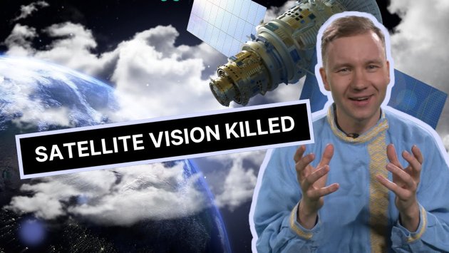
Assistant Professor Egor Prikaziuk from the ITC explains why optical satellites struggle to capture images in northern and tropical regions.
He explains how RADAR works and how this remote sensing technique may help to overcome challenges with cloud cover or lack of light.
Topics covered:
• Why optical satellites need daylight
• How clouds and darkness limit observations
• The challenges of mapping deforestation (in tropical areas from space)
• Why agencies like ESA, NASA, and CNSA plan satellite coverage.
And if you haven't yet, check out our previous video with Egor, on The Art of Balancing Three Types of Satellite Resolution.
Login and start learning!