Remote Sensing
Drones, the Perfect Survival Ally. Episode 4: Signalling for Help
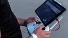
6:28


In this new episode of our Drones for Survival series, you'll learn about different techniques for topographic mapping and how they can help us find the best spot to signal for help!
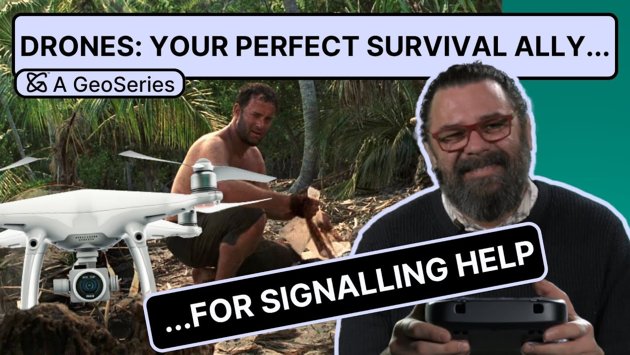
Stranded on a desert island? You've got a lot to handle: finding food, sourcing fresh water, making a shelter, building a fire and signaling for help.
Doesn't sound like a one-person job, does it? You'd be better off with a friend - one that's actively helping.
In this video series, we'll show you how a drone is the ideal survival ally for these essential survival tasks. In this episode we focus on signaling for help, which demands physical effort in harsh conditions where you are already low on food, water and energy. Besides, you constantly have to maintain your signals, which will leave you as exhausted as a day spent talking to a volleyball.
Assistant professors and drone enthusiasts Panagiotis Nyktas and Florian Ellsäẞer will teach you all about topographic mapping and its crucial role in identifying the best spot for signalling for help. You will learn all about the real-world applications of photogrammetry and how it compares to LiDAR.
Watch to learn how this cutting-edge technology helps create Digital Surface Models (DSM) and what they are used for in real life!
And just in case you missed them, check out the other videos in our series, 'Drones, the Perfect Survival Ally':
Episode 3: Sourcing Different Types of Wood