- Artificial Intelligence
Deep Learning with Real-time Flood Inundation Maps
In the Mekong River Basin - particularly Cambodia - there is a need for near-real-time flood inundation maps. Tools like the Hydrologic Remote Sensing Analysis for Floods (or HYDRAFloods) facilitate disaster preparedness and timely flood evacuations when they are accessible to governments and individuals.
Flood inundation data is limited in the Me… Mayer, T.J. 3 min
- Climate Change
How OpenStreetMap can help humanitarians act early
Can OpenStreetMap support humanitarian efforts by filling data gaps in vulnerable areas?
Adapted by Ottevanger, M. 7 min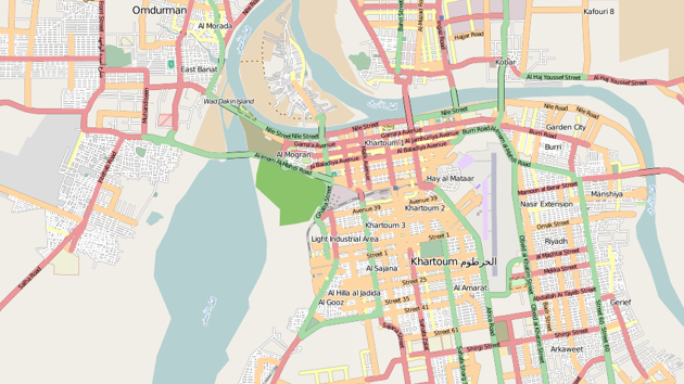
- Climate Change
Why disasters highlight social inequality
The unequal allocation of resources has a significant impact on disaster response. In this story, we highlight research into the compl…
Adapted by Ottevanger, M. 6 min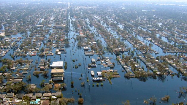
- Climate Change
How to Design Low-cost, Climate-adaptive Housing
In this study, researchers look at tools that can help to improve the climate adaptability of low-cost housing.
Adapted by Ottevanger, M. 7 min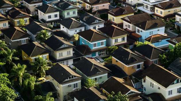
- Sustainable Cities
Can a mobile app help to make cities more biker friendly?
Researchers have developed a citizen science platform that enables users to influence the bike-friendliness of their city.
Adapted by Ottevanger, M. 7 min
- Artificial Intelligence
Monitoring urban forests using deep learning
Urban forests can help to mitigate many of the problems that cities are facing. A study investigated how deep neural networks (DNNs) c…
Abena Boatemaa Asare-Ansah 6 min
- Artificial Intelligence
Satellites as Detectives
A recent study proposed a powerful method to detect unorganised, small-scale mining using freely available satellite data and open-sou…
Adapted by Ottevanger, M. 6 min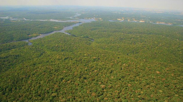
- Spatial Data Science
13 Map Use Environments and how to make them work for sustainable cartography
In this new instalment of our series based on Mapping for a Sustainable World, we look at different map use environments and considera…
Adapted by Ottevanger, M. 10 min
- Disaster Risk
12 challenges in protecting displaced people from flood risk
Recent research sought to identify the main challenges in reducing the risk and impact of floodings on displaced people.
Adapted by Ottevanger, M. 8 min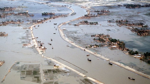
- Spatial Data Science
Seven common map types for sustainable cartography
Cartography provides information to help understand trends and monitor progress towards the UN's Sustainable Development Goals (SDGs) …
Adapted by Ottevanger, M. 7 min
- Climate Change
Heat or Eat? What to do when energy poverty strikes?
Researchers take a multidisciplinary approach to understanding the kinds of choices people make in the context of energy poverty.
Adapted by Ottevanger, M. 6 min
- Planning Support Systems
The EquiCity Game: Promoting fair decision-making in urban planning
Learn how researchers built a simulation platform to tackle the complex challenge of multiple stakeholders in urban building projects.…
Adapted by Ottevanger, M. 6 min
- Big Geodata
What does ethics have to do with geodata technology?
The increasing availability and processability of large datasets are transforming the field of research ethics. In the case of geoscie…
Adapted by Ottevanger, M. 7 min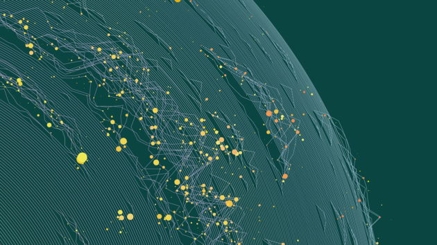
- Disaster Risk
How do volcanoes trigger tsunamis?
Volcanic eruptions often have far-reaching consequences, both in their impact and geographical extent. A deeper understanding of the complex processes that cause such events can enable more accurate hazard forecasting while improving preparedness and mitigation strategies.
Complex and dangerous
Volcanic activity can also trigger multiple hazards.
…Adapted by Ottevanger, M. 6 min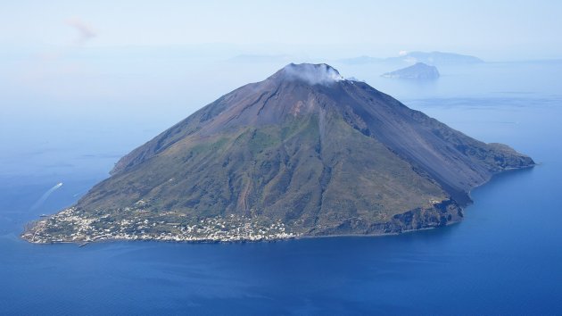
- Land Administration Systems
Why managing land reform problems works better than trying to solve them
In land administration reform, policymakers tend to pursue definitive solutions to the issues they face. Such solutions rarely work due to the complicated nature of the field. Approaching land reform as a wicked problem may be more effective.
Land administration reforms are an inherently complex affair. Making the transition from traditional syste…Adapted by Ottevanger, M. 6 min
- Climate Change
How urban green can keep tropical cities cool
Urban green spaces are considered a nature-based solution to help cities adapt to climate change. A recent study investigates the specifics of this phenomenon in a tropical city to gain a deeper understanding of urban green spaces’ cooling dynamics and support effective greening policies.
Worldwide, there is growing awareness and scientific eviden…Adapted by Ottevanger, M. 6 min
- Land Administration Systems
Promoting sustainability with efficient land management
Land is an extremely important resource globally. Land administration and management are therefore crucial in meeting many of the requirements of the United Nations 2030 sustainability agenda as outlined in the sustainable development goals (SDGs).
However, in many of the world's countries, land administration tends to be fraught with issues and b…Adapted by Ottevanger, M. 6 min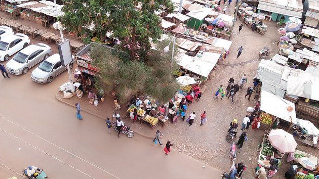
- Food Security
How remote sensing helps us investigate extreme heat's effect on crop productivity
Agricultural yield is influenced by a multitude of natural factors including temperature, water availability, sunlight, and soil quality.
In view of ongoing global warming, there's an urgent need for knowledge and understanding of the specific impact of heat extremes on crop productivity.
Agriculture all over the world is increasingly challenged b…Adapted by Ottevanger, M. 6 min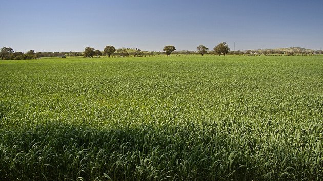
- Artificial Intelligence
How do glaciers behave in a warming climate?
Glacier monitoring in alpine regions is crucial for understanding how glaciers respond to climate change, how they impact water resources and ecosystems, and their role in natural hazards.
A recent study tested a novel monitoring approach using a low-cost camera system.
Traditional glacier monitoring methods like satellite imaging provide broad co…Adapted by Ottevanger, M. 6 min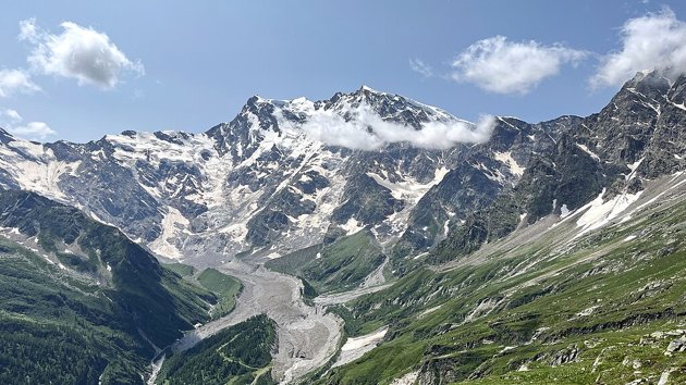
- Geohealth
Where is geospatial health now - and where is it going?
In November 2023, the ITC Faculty at the University of Twente hosted the 16th symposium of the global network of public health and earth scientists dedicated to the development of geospatial health (GnosisGIS).
Geospatial health is an interdisciplinary field that integrates geographic information and spatial analysis with health research to study …Adapted by Ottevanger, M. 5 min
- Mineral Exploration
How does geological remote sensing make mineral exploration and mining more effective?
Mineral exploration and mining require precisely defined target areas to avoid unnecessary environmental damage and wasting money and resources. Here, geological remote sensing plays a vital role.
If this topic interests you, the Geoversity beginners' course in Geological Remote Sensing for Mining & Exploration is not to be missed.
So what does ge…Adapted by Ottevanger, M. 5 min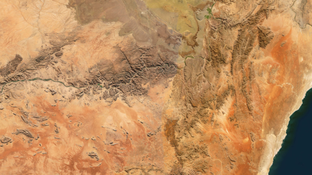
- Disaster Risk
Fire hazard in informal settlements: should I stay or should I go?
All over the world, more people are moving to urban areas - an ongoing process that drives the need for housing. However, many cities in the Global South lack the capacity to accommodate the influx of newcomers.
As a result, many people end up in informal settlements, often expansions of urban land adjoining wildland. When these urban lands meet w…Adapted by Ottevanger, M. 7 min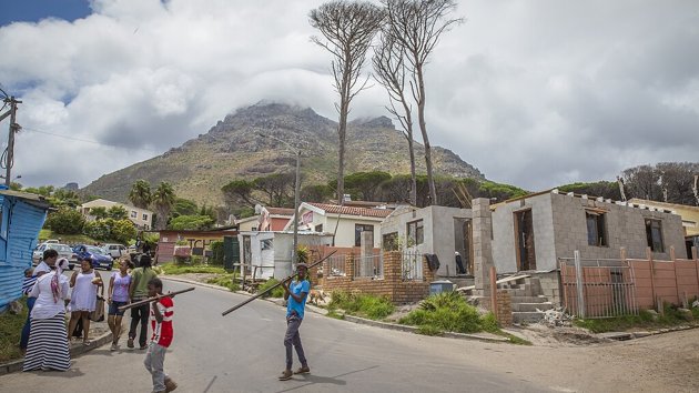
- Food Security
A new way to map small-scale irrigation areas
Identifying and mapping irrigation areas is critical for effective water resource management and food security. A recent study propose…
Adapted by Ottevanger, M. 7 min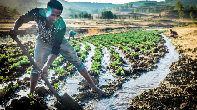
- Natural Resources Management
How a geo-information app helps vegetable farmers to optimise inputs and boost productivity
For vegetable farmers in Indonesia, it can be hard and expensive to access information that could help them increase productivity, inc…
Adapted by Ottevanger, M. 6 min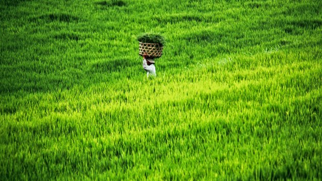
- Artificial Intelligence
12 decisions when designing maps for the Sustainable Development Goals
The United Nations’ Sustainable Development Goals (SDGs) for the year 2030 were drawn up to make the world a better place for all. Whe…
Adapted by Ottevanger, M. 8 min
- Land Administration Systems
Obstacles to sustainable urbanisation in Ethiopia
In Ethiopia, rapid urbanisation has led to largely unplanned conversion of agricultural land to urban use. It's a process that has res…
Adapted by Ottevanger, M. 8 min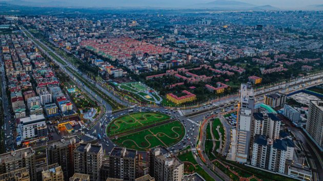
- Spatial Data Science
Geospatial data and the Sustainable Development Goals
In 2015, the United Nations introduced the Sustainable Development Goals (SDGs) for the year 2030. The SDGs agenda encompasses 17 goals aimed at addressing various global challenges, including poverty, inequality, climate change, environmental degradation, peace, and justice.
At the time, the UN proclaimed that making better use of data was an imp…Adapted by Ottevanger, M. 7 min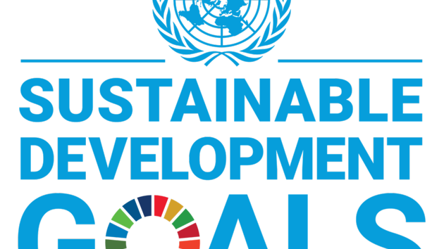
- Food Security
How geodata-based insurance can help smallholder farmers cope with weather risks
Smallholder farmers in Ethiopia's highlands face weather-related risks, particularly drought. To help them cope, ITC initiated GIACIS …
Adapted by Ottevanger, M. 7 min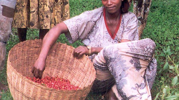
- Land Administration Systems
Improving land administration services in Ghana
Land administration and the provision of land services in Ghana are hampered by obstacles such as legal pluralism, data redundancies, and out-of-date information.
Researchers conducted a study to develop a framework for enhanced coordination among land agencies to facilitate cadastral data interoperability and sustainable land management.
Land is …Roy Joaniddes 7 min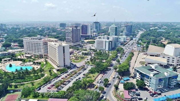
- Digital Twins
Keeping things cool with digital twins
Digital twin (DT) technlogy has proven to be powerful in addressing the Urban Heat Island effect and promoting climate-resilient citie…
 Koeva, M.N. 7 min
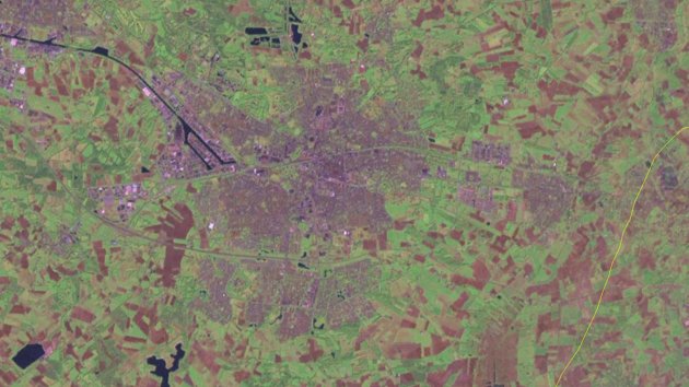
- Land Administration Systems
FELA and the art of sustainable land administration
The quality of the urban land administration system (LAS) is a key factor in any country’s performance on many levels. Unfortunately, …
Adapted by Ottevanger, M. 7 min
- Digital Twins
How deep learning and remote sensing can combine to promote 3D city modelling for digital twins
Urban research is very interested in automatically reconstructing the structure and the roofs of buildings. Understanding these struct…
Adapted by Ottevanger, M. 5 min
Themes
Topics
- Artificial Intelligence
- Big Geodata
- Climate Change
- Digital Twins
- Disaster Risk
- Earth Resources
- Energy Transition
- Food Security
- Geohealth
- Land Administration Systems
- Mineral Exploration
- Natural Resources Management
- Planning Support Systems
- Remote Sensing
- Spatial Data Science
- Sustainable Cities
- UAV
- Urban Infrastructure
- Water Resources
Themes
 Geo-information
 Earth Observation
 Resource Security
 Urban Futures
 Climate & Energy
 Disaster Resilience
 GeoAI
GeoAI
Topics
- Artificial Intelligence
- Big Geodata
- Climate Change
- Digital Twins
- Disaster Risk
- Earth Resources
- Energy Transition
- Food Security
- Geohealth
- Land Administration Systems
- Mineral Exploration
- Natural Resources Management
- Planning Support Systems
- Remote Sensing
- Spatial Data Science
- Sustainable Cities
- UAV
- Urban Infrastructure
- Water Resources