Remote Sensing
Earth from Space: Dhaka, Bangladesh
In this edition of Earth from Space, we look at images showing the impact of flooding in Sri Lanka in recent months.
Puttalam district in North Western Sri Lanka is currently facing severe flooding, landslides and rockfalls, caused by heavy monsoon rains across the region.
Copernicus Sentinel-2 captured an image over the region on 30 November 2025, as well as an image one month previously, showing the extent of flooding.
Click on the slide below to see the next image:
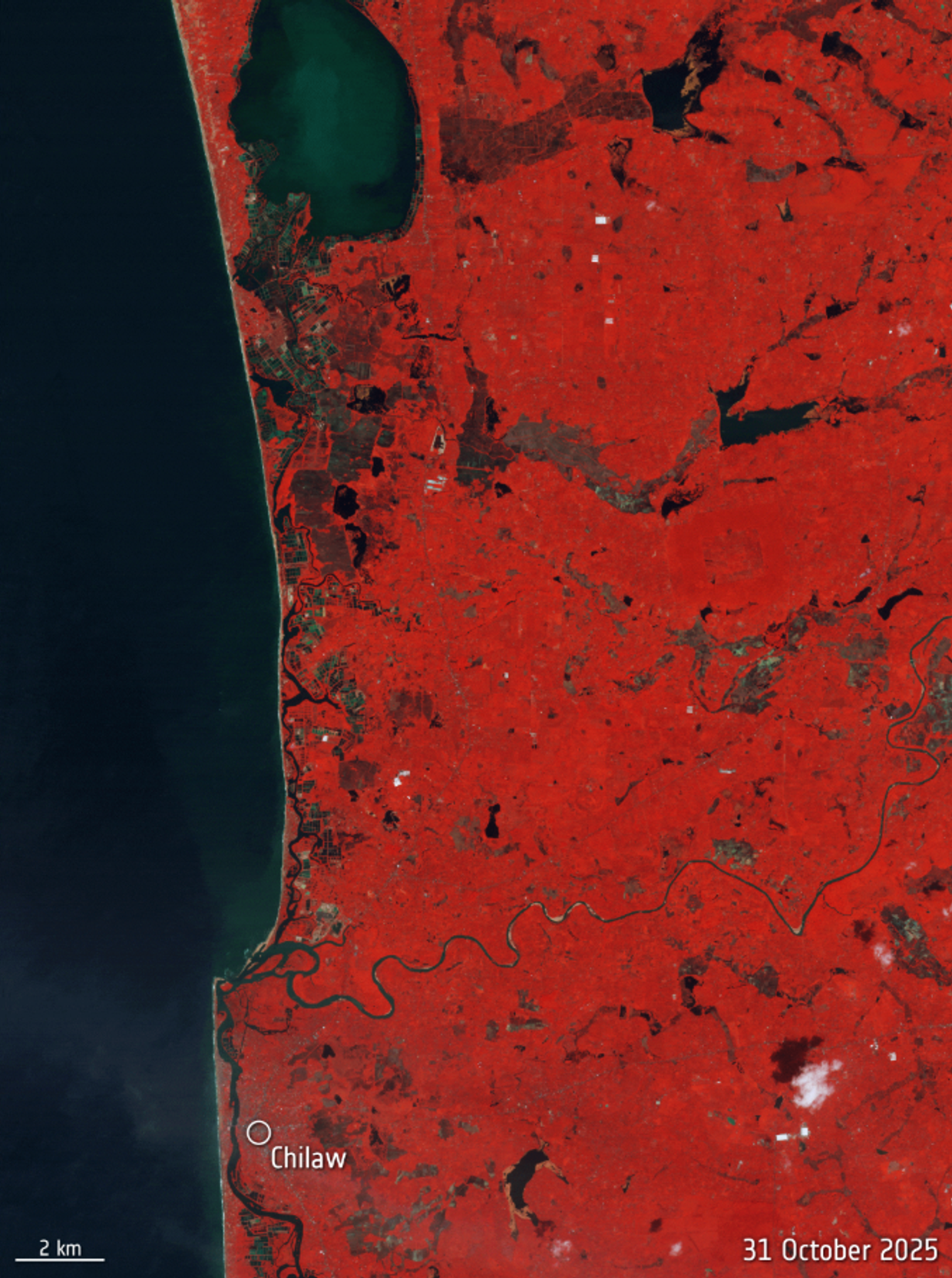
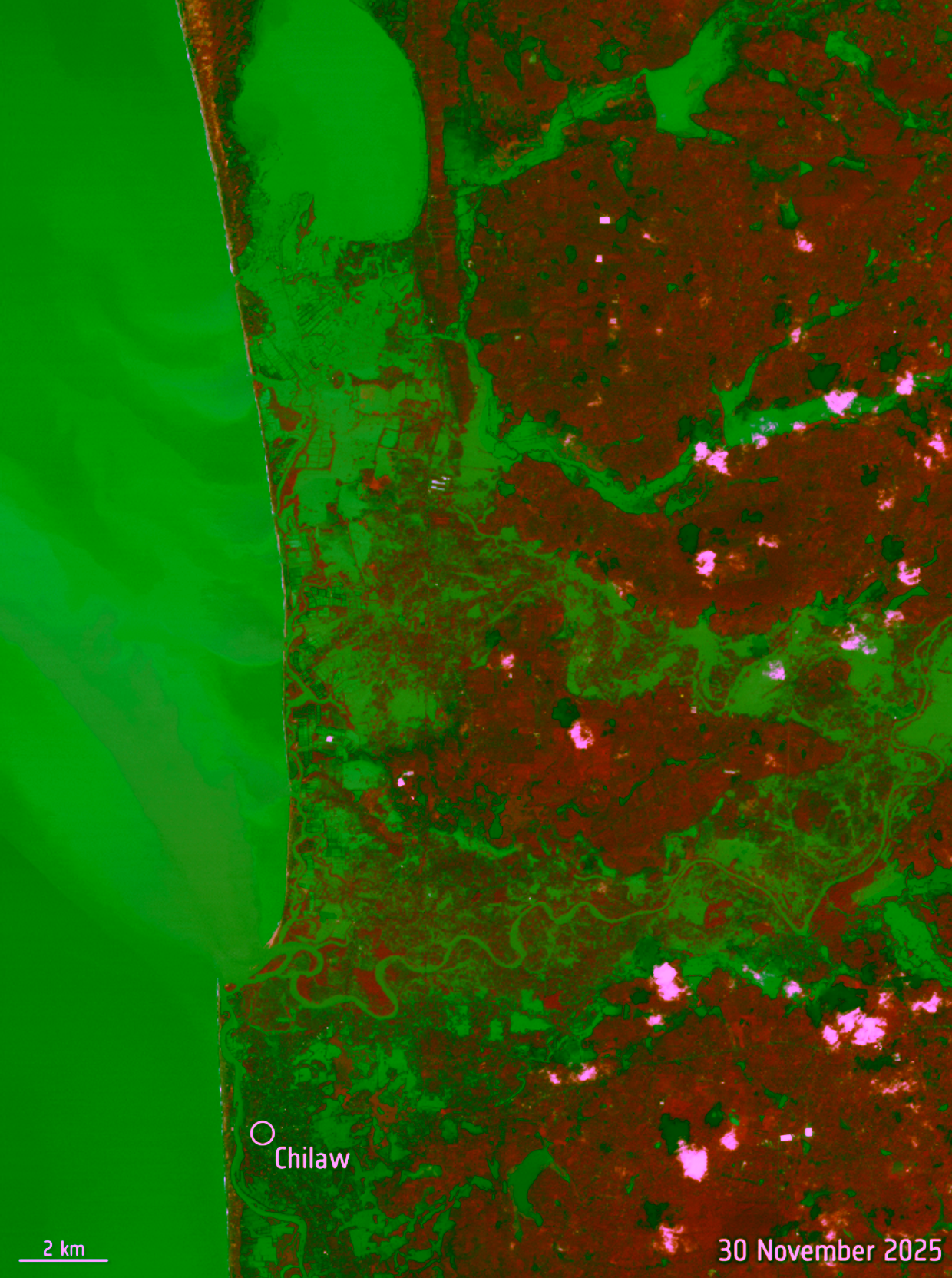
The images are taken using false-colour in the near-infrared channel. Sediment appears green/brown, cleaner water appears dark blue/black, and vegetation appears red.
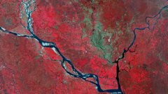
During the same period, Sentinel-2 also acquired another image over the island of Sumatra in Indonesia.
The Copernicus Sentinel-2 mission is based on a constellation of two identical satellites in the same orbit but on opposite sides of the globe. Each satellite carries an innovative wide swath high-resolution multispectral imager with 13 spectral bands.
Orbiting at an altitude of 786 km, the mission passes over the same location on Earth every five days and is often called upon to provide data to support emergency response efforts.
The Disasters Charter, which turns 25 this year, has been activated to provide satellite data over Sri Lanka.
Login and start learning!