


Artificial Intelligence
Deep Learning with Real-time Flood Inundation Maps
3 min
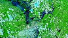
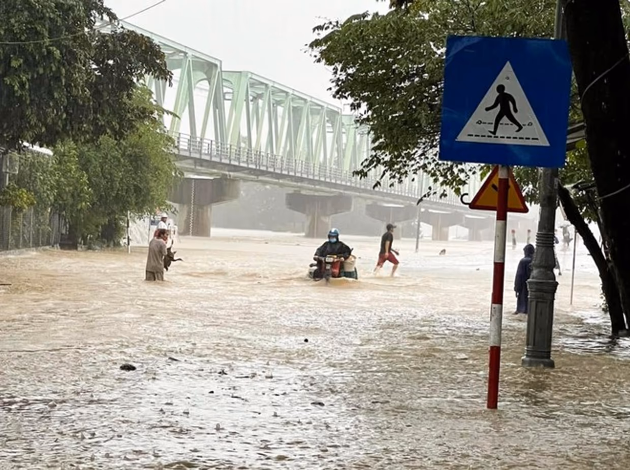
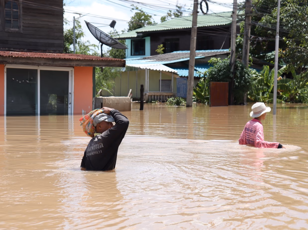
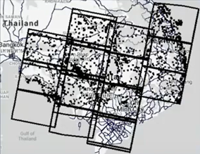
In the Mekong River Basin - particularly Cambodia - there is a need for near-real-time flood inundation maps. Tools like the Hydrologic Remote Sensing Analysis for Floods (or HYDRAFloods) facilitate disaster preparedness and timely flood evacuations when they are accessible to governments and individuals.
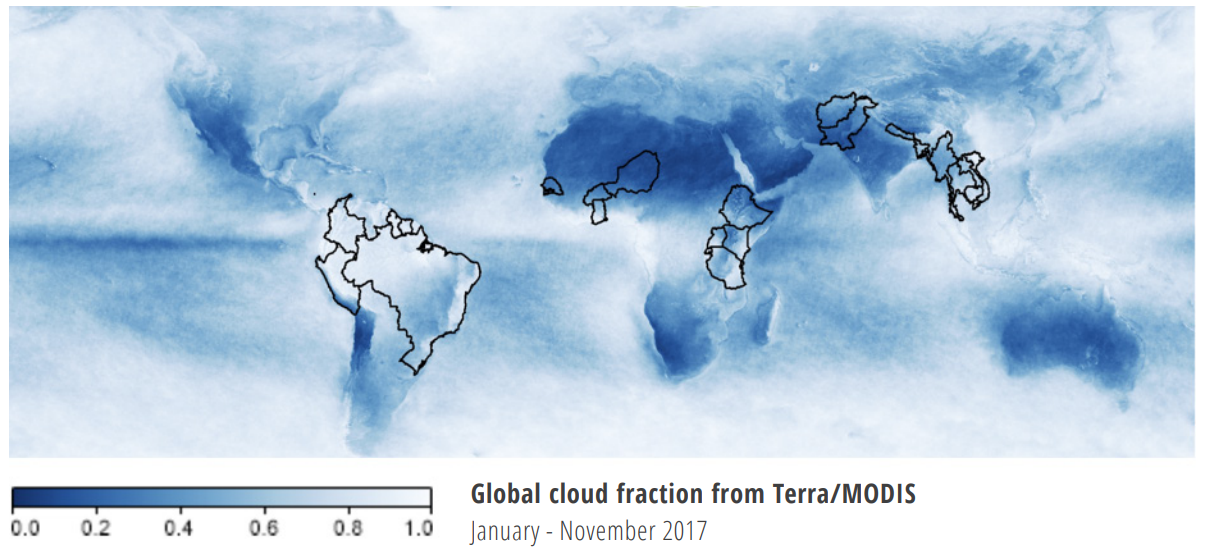
Flood inundation data is limited in the Mekong River Basin. Frequent storms in the area mean that many Earth observations (EO) are obstructed by clouds.
The HYDRAFloods system overcomes this barrier by combining optical imagery with SAR (Synthetic Aperture Radar) data, which uses a c-band microwave observation to observe the Earth through cloudy conditions.
HYDRAFloods is an open-source, cloud-enabled Python application for downloading or cloud-processing remote sensing-based surface water maps. The tool can combine data from various sensors and datasets to create near-daily surface water maps.
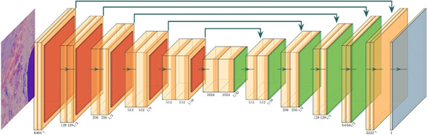
HYDRAFloods includes an automated system for generating surface water maps. The data tool compiles multiple flood mapping approaches, including deep learning techniques.
HYDRAFloods researchers investigated the best way to automatically identify flooded areas in satellite images. They combined two different approaches for sorting pixels into 'water' and 'non-water.'
One approach uses historical imagery of a given area to identify water-like pixels in areas where floods don't normally occur.
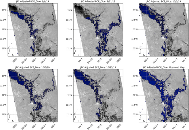
The other approach plots the pixels of an image onto a histogram and then divides them into two categories of 'more water-like' and 'less water-like'. These automatically labelled flooded image chips were then utilized to develop a Deep Learning flood mapping approach. The team tested different combinations and parameters until they developed a model that most accurately matched data on the ground in Cambodia and was able to detect flooded areas.
JRC LandSat data (Mayer, et al. 2021)
The HYDRAFloods tool has been successfully utilised by the UN World Food Programme as part of a platform for real-time impact and situation monitoring. In Cambodia, it has been used since 2022 to provide maps to the government and alert people on the ground about flooding inundation.
To learn more about the tool, visit HydraFloods documentation and methodology pages here.
And check out this talk at Google to learn more about HydraFloods.
Login and start learning!

