
Four popular sources of labelled data for machine learning
In remote sensing, machine learning models are powerful instruments for classifying land cover and land use, identifying vegetation cover, determining soil types, detecting changes in the landscape, and more.
However, these models need to be fed labelled data as training material for optimum performance. This data type allows machine learning mode… Paris, C.
Enhancing Agricultural Monitoring with AI and satellite data: A Collaborative Training on Crop Type Mapping
I had the pleasure of being invited to the Geo-Informatics and Space Technology Development Agency (GISTDA) in Bangkok to deliver a Tailor-Made Training (TMT) program: a truly rewarding and enriching training experience.
This training focused on the application of Artificial Intelligence (AI) techniques for crop type mapping, leveraging the rich t… Paris, C. 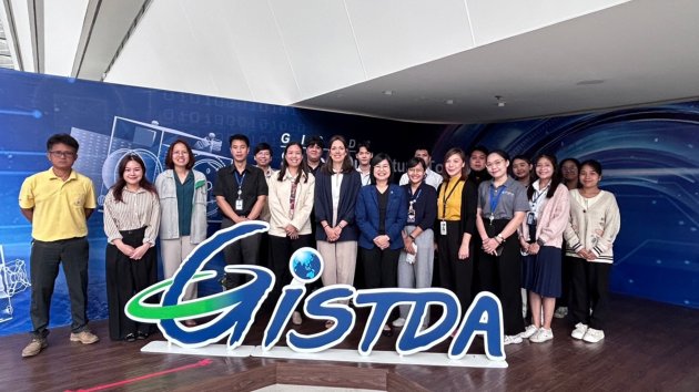
The Remote Sensing Data Labelling Challenge
Remote sensing involves analysing vast amounts of Earth Observation (EO) data, typically acquired from satellite data, aircraft or Unmanned aerial vehicles (UAVs). Machine learning models can be trained to assist here, by automatically classifying land use and land cover, identifying vegetation cover, determining soil types, detecting changes in t…
Paris, C. 
Themes
Topics
- Artificial Intelligence
- Big Geodata
- Climate Change
- Digital Twins
- Disaster Risk
- Earth Resources
- Energy Transition
- Food Security
- Geohealth
- Land Administration Systems
- Mineral Exploration
- Natural Resources Management
- Planning Support Systems
- Remote Sensing
- Spatial Data Science
- Sustainable Cities
- UAV
- Urban Infrastructure
- Water Resources
Themes
 Geo-information
 Earth Observation
 Resource Security
 Urban Futures
 Climate & Energy
 Disaster Resilience
 GeoAI
GeoAI
Topics
- Artificial Intelligence
- Big Geodata
- Climate Change
- Digital Twins
- Disaster Risk
- Earth Resources
- Energy Transition
- Food Security
- Geohealth
- Land Administration Systems
- Mineral Exploration
- Natural Resources Management
- Planning Support Systems
- Remote Sensing
- Spatial Data Science
- Sustainable Cities
- UAV
- Urban Infrastructure
- Water Resources